

How Global Warming is Making Hurricanes and Typhoons Worse

Global warming didn’t create hurricanes like recently named storms such as Michael and Florences or even the historically significant events of the last decade like Hurrican Katrina or Superstorm Sandy. The reality is, however, that global warming is making a decided difference in the intensity of hurricanes and typhoons all over the world.
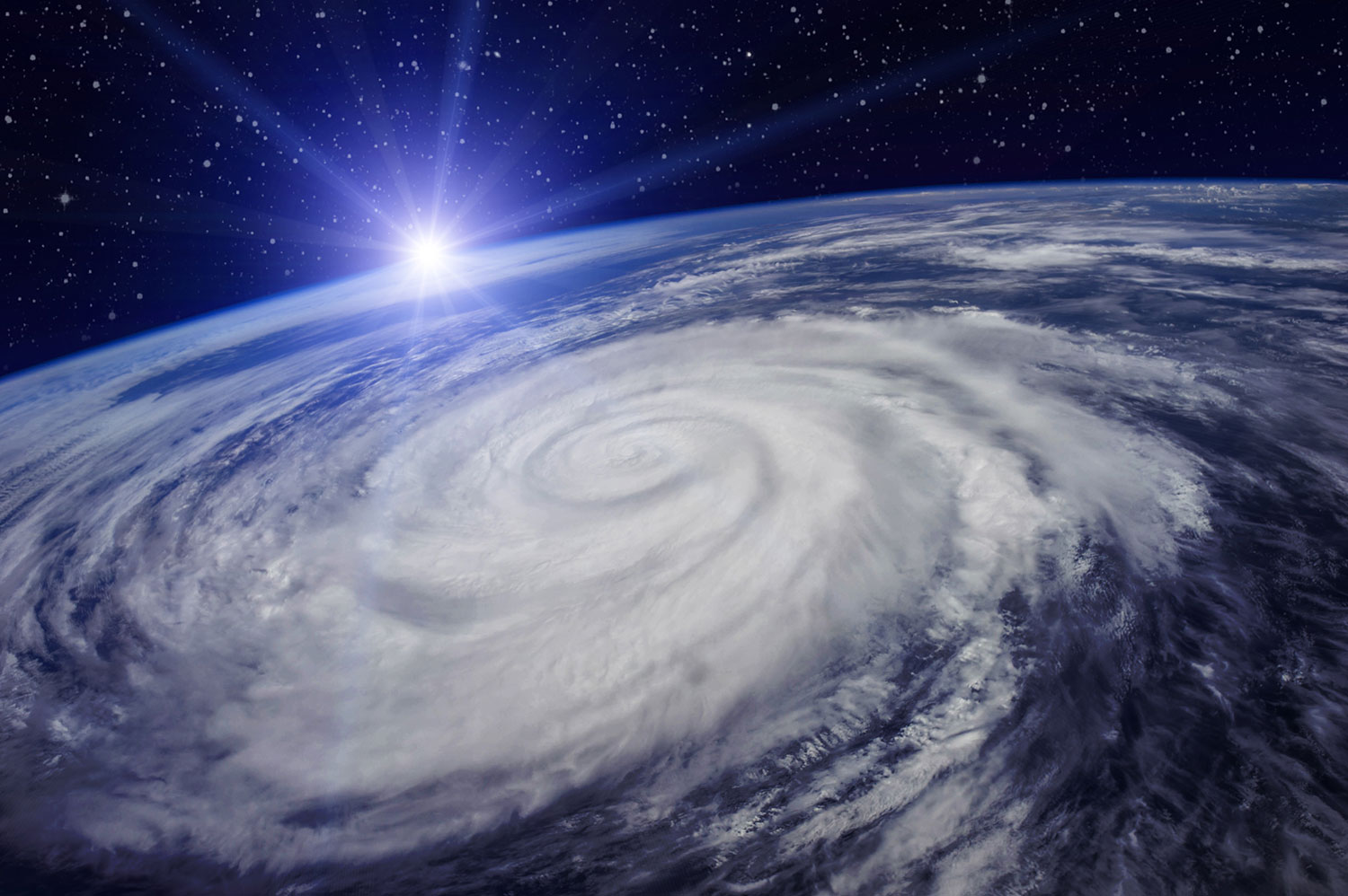
Over the past several years, there have not been an inordinate amount of named storms worldwide. In fact, most seasons have been normal, but what has happened is that the intensity of tropical cyclones, which become hurricanes in the Atlantic Ocean and typhoons in the Pacific Ocean, have become more deadly in some ways. Here’s the science behind it.
How Tropical Cyclones Have Become Worse
The number of storms per year and the strength of each storm are two indicators that these weather events have intensified since the beginning of the 20th century. Globally, about 70 to 110 tropical storms form each year with up to 60 reaching hurricane strength. Category 5 storms, with minimum sustained winds of 155 mph are the most severe, and the rarest, as only four have hit the United States within the last decade.
However, the number of storms and their wind intensity aren’t the only measures of significant damage. Hurricane Harvey, a Category 4 storm that inundated the Houston area in 2017 and Hurricane Florence, another Category 4 storm that stalled over the Carolinas in September 2018, produced prodigious amounts of water that caused inland flooding. At relatively the same time as Florence, Typhoon Mangkhut, a Category 5 storm, hit the Phillippines and parts of South China.
A measurement called the Accumulated Cyclone Energy Index (ACE) measures the strength, frequency and duration of storms. Data accumulated by ACE assessments indicated that tropical cyclones could become stronger, slower and wetter very soon. The reason for this is that tropical storms draw their energy from up to 2,000 meters below the surface of the ocean. The temperature of ocean water has soared since 1970 and was the warmest on record in 2017.
Rapid Intensification
Rapid intensification, or RI, occurs when a storm increases its windspeed by at least 35 mph in a 24-hour period. 2017 saw 40 separate RI cases, which included Hurricane Maria, which left the residents on the island of Dominica insufficient time to prepare before it slammed into and devastated Puerto Rico. The same thing happened in October 2018 when Hurricane Michael intensified from a Category 1 to a Category 5 storm and flattened the town of Mexico Beach, FL, as it roared ashore.
NOAA Studies
A recent study by climatologist Jim Kossin of the National Oceanic and Atmospheric Administration (NOAA) shows that tropical cyclones are moving slower and even stalling, as in the case of Hurricane Florence. The amount of water coming out of tropical cyclones is also the most robust connection to climate change that scientists have. The intense warming of our planet’s oceans produces a double whammy by intensifying storm surges and producing more intense rainfall, both in turn leading to more devastating destruction.
